
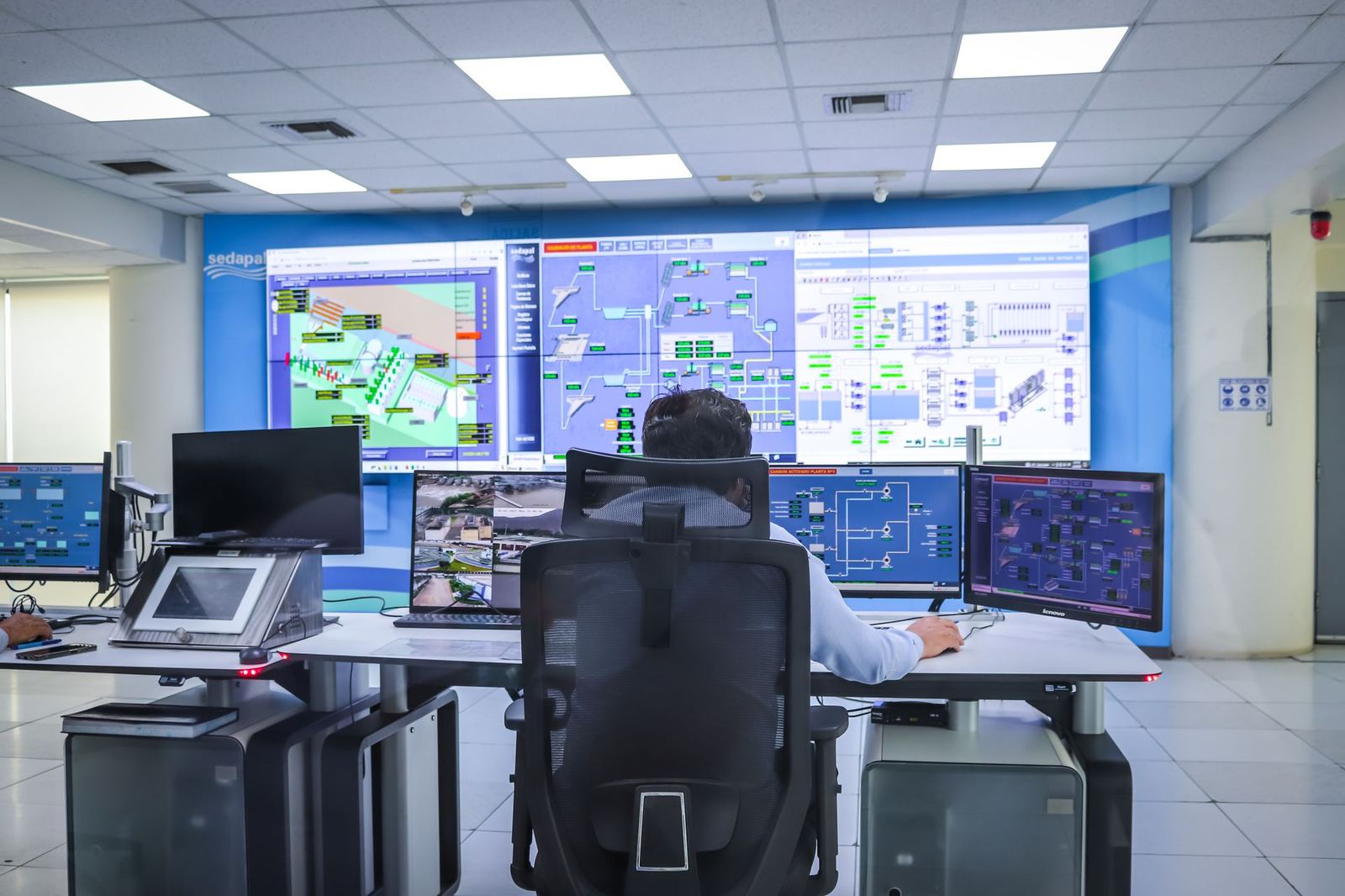
Map-based command and control software that fuses data from radar, EW and EO sensors.
Quote per programme
Presenting sensor data to the operator as a meaningful picture is the last link in defence electronics. Our command and control software includes multi-sensor data fusion, threat evaluation and mission planning modules.
Capabilities
- Multi-sensor track fusion and identification
- Geographic information system based operator interface
- Open architecture: NATO STANAG and ASTERIX support
- Simulation and training module
Integration
Interface development, integration and field acceptance tests with third-party radars and platform systems.
Scope of service
- Multi-sensor data fusion
- Open architecture
- Training module
- Field acceptance tests
Command & Control and System Integration — get a quote
Fill in the form and we will get back to you as soon as possible.
Frequently asked questions
How can I access technical brochures?
General brochures are open to everyone. Radar and EW technical documents are for authorised institutional users; fill in the request form in the Document Center and access is granted after an eligibility review.
Do you have a price list?
Our products are configured per programme; prices are given as institutional quotations depending on configuration, quantity and support package.
What permits are needed for export?
Defence exports require prior permission of the competent authorities. The process includes an end-user certificate and a compliance review. See the Export Control & Compliance page for details.
Do you offer custom configurations or local partnerships?
Yes. Platform adaptations, subsystem customisation and local industrial participation (offset) models are considered.
Do you provide training and maintenance?
Operator, maintainer and instructor training, field maintenance and depot-level repair services, spares and software updates are part of the delivery package.